Eye in the Sky – The Alan Parsons Project
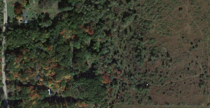
Thanks to satellite/aerial imagery, it’s easier than ever to see how things are progressing at Puckaway. I’ve collected a few different pictures and found an image slider plugin to use for them. It’s pretty cool.
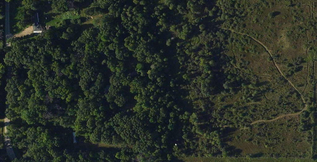
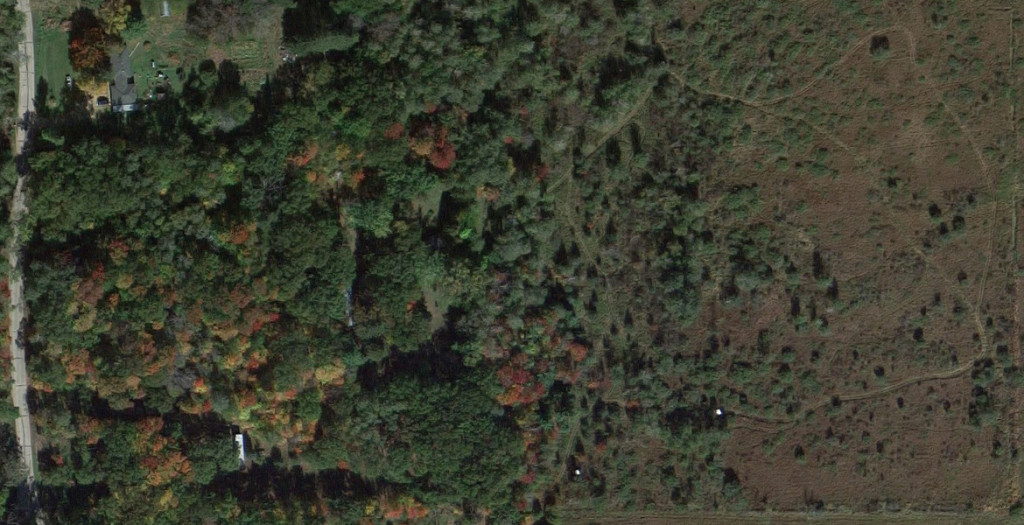
Bing Maps vs Google Maps
The two heavy hitters in free online aerial photography really show how much the land changes throughout the course of the year. I couldn’t find exact dates, but I think the Bing image is from the summer of 2013 or 2014 and the Google one is from fall of 2014. The marsh ATV trail is well-established now, as both pictures show, and with the Google image you can see the yard pretty clearly.


